
On the back of the card
- The Village of Key Biscayne was incorporated on June 18, 1991, and covers the central 1.25 square miles of a four-mile-long barrier island.
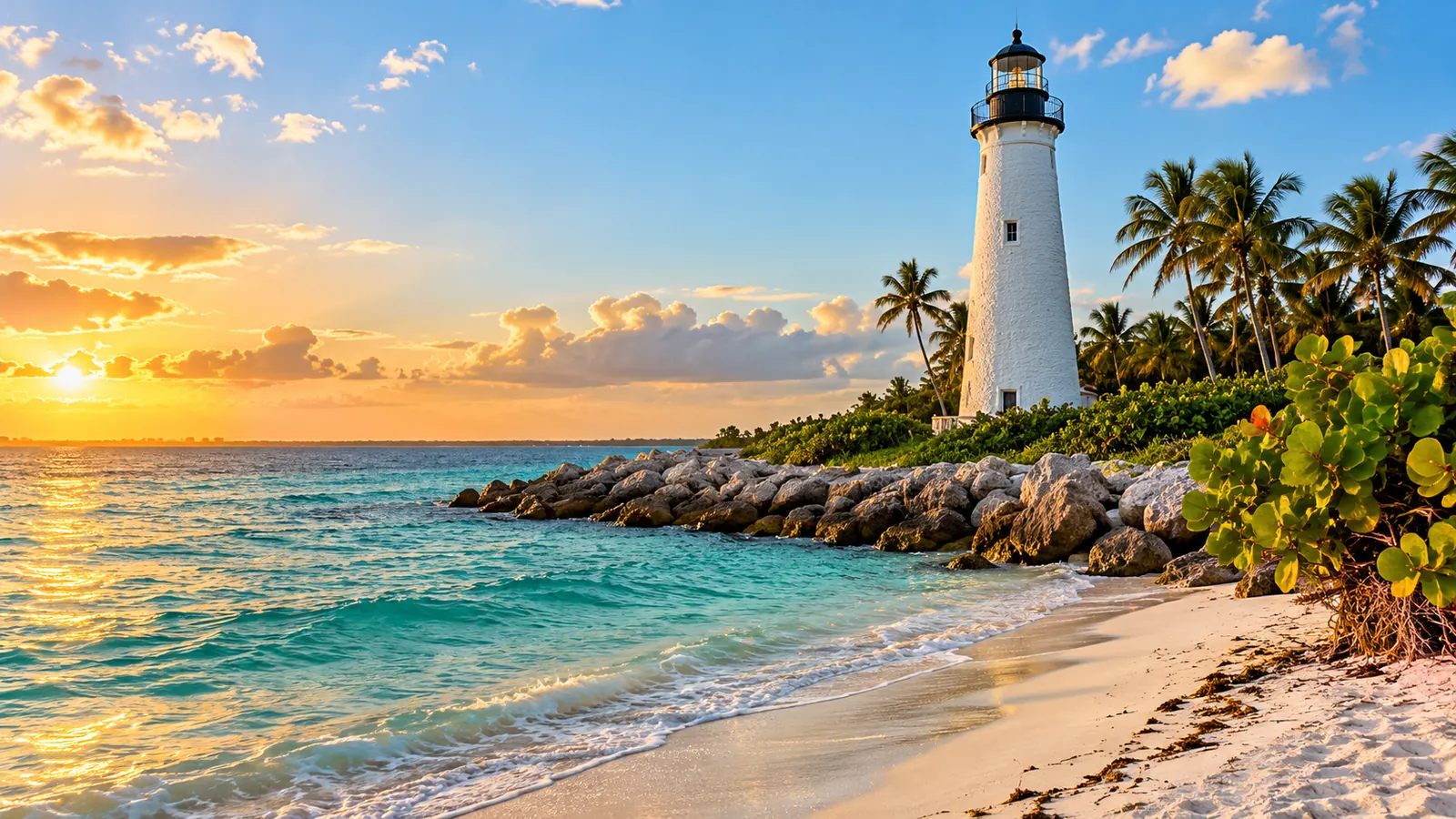
- Bill Baggs Cape Florida State Park, at the island’s southern tip, holds the 1825 Cape Florida Lighthouse and charges $8 per vehicle.
- Crandon Park, on the north end, was donated to the county by the Matheson heirs in 1940 and has a two-mile beach.
Key Biscayne sits across the bay from Brickell, reached by the Rickenbacker Causeway. It is a small, mostly residential island with parks at both ends, quiet streets and a strong village identity. People who live here usually do so for the water, the parks and a pace of life that feels far from the city skyline across the bay.
The village and its island
According to the village’s budget book, the Village of Key Biscayne was incorporated on June 18, 1991. It occupies the central 1.25 square miles of a barrier island about four miles long and two miles wide, between the Atlantic and Biscayne Bay. Crandon Park borders it to the north and Bill Baggs Cape Florida State Park to the south. The mainland is about seven miles away by causeway and bridges.
The village says its incorporation came from residents’ desire for self-government and made it the first new city in Miami-Dade County in more than 50 years.
How the island developed
| Year | What happened, according to the village |
|---|---|
| 1513 | Juan Ponce de León charted the area; the Tequesta had lived on the island long before |
| 1825 | The Cape Florida Lighthouse was built at the southern tip |
| 1908 | William J. Matheson began buying land; by 1928 he owned about 1,700 acres |
| 1940 | Matheson’s heirs donated the northern holdings to the county for a public park, on condition a causeway be built |
| 1947 | The Rickenbacker Causeway opened on November 9 |
| 1950 | Ground was broken on the island’s first residential development |
| 1991 | The village was incorporated |
Crandon Park: the north end
Crandon Park is a Miami-Dade County park on land the Matheson family donated. The county describes a two-mile beach protected by an offshore sandbar that softens the surf and shifts with the seasons. Parking holds just under 3,000 cars. The park also has a nature center, mangrove and hammock trails, the Bear Cut Preserve, a marina, a tennis center with 27 courts, a golf course and a historic carousel with an outdoor roller rink.
Vehicle entry costs $7 plus tax Monday through Thursday and $10 plus tax Friday through Sunday. Glass containers are not allowed, and pets are not allowed except service animals. The county also bans flotation devices at its bathing beaches and launching personal paddleboards or kayaks from the beach; private boats launch from the marina.
Cape Florida: the south end
At the island’s tip, Bill Baggs Cape Florida State Park is home to the Cape Florida Lighthouse, built in 1825. Florida State Parks offers guided tours of the lighthouse and keeper’s cottage. The park is open from 8 a.m. to sunset every day of the year, and entry is $8 per vehicle.
The park’s history is a serious one. The state notes that Cape Florida served as a gathering point for Seminoles and for freedom seekers, including Black Seminoles, who took passage from here to the British Bahamas; it is part of the Florida Black Heritage Trail. Since Hurricane Andrew in 1992, the park’s biologist has banded migrating songbirds, recording more than 29,000 birds. The park manager suggests a bench facing Stiltsville, to the west, for summer sunsets.
Tip: Some areas of Bill Baggs, including one beach access point and the fishing piers, have been closed for repairs. Check the state park’s notices before planning a visit around them.
Daily life on an island
- Every trip off the island uses the Rickenbacker Causeway, which the county’s transportation department maintains. Allow extra time at busy hours.
- The city trolley networks do not serve the island, so most residents use a car, a bike or a county bus.
Storms and water
On a barrier island, storm planning comes first. Miami-Dade’s storm surge planning zones mark areas that could see a surge of one and a half feet or more; evacuations are ordered by zone based on the forecast surge, and leaving means crossing the causeway. Know your zone and your route before the season starts on June 1. The village presented its FY 2027 budget as a plan for a safer, more resilient village, and federal money has been directed to flood protection and coastal resilience on the island.
A buyer on the island gets the seller’s Florida flood disclosure no later than contract signing, and flood cover has to be bought as its own policy. If you live in the home permanently, the Florida homestead exemption is due by March 1 after your first January 1 there.
Who it suits
Key Biscayne suits people who want a small village with beaches and parks at both ends, are comfortable driving for most errands and plan carefully for storms. For a busier island city with Art Deco streets, see Living on Miami Beach: Art Deco Streets, Free Trolleys and Island Life.